In 1939, Basingstoke was a modest Hampshire market town of little more than 13,000 people. Within three decades, it had quadrupled in size, becoming one of the most dramatic examples of post-war urban expansion in Britain. The cause was the London overspill policy: a deliberate government strategy to relocate thousands of families from the capital to designated "expanded towns" across the Home Counties.
The Seeds of Transformation
The groundwork for Basingstoke's metamorphosis was laid in 1944, when planner Patrick Abercrombie published the Greater London Plan. The document proposed relocating over one million Londoners from Inner London to satellite communities, creating a four-ring system that included a Green Belt and Outer Country ring. The New Towns Act 1946 gave the government powers to designate development areas and establish development corporations to manage them.
Whilst Basingstoke was never formally designated a "new town" in the manner of Milton Keynes or Stevenage, it was classified as an "expanded town" under the overspill agreement between London County Council and Hampshire County Council. This distinction meant the town grew rapidly through the 1960s, absorbing London families seeking homes outside the capital whilst retaining its historic character in the centre.
The Population Explosion
The numbers tell a striking story. Basingstoke's population stood at approximately 25,000 immediately after the Second World War. By 1971, it had surpassed 52,000. Today, the town has 107,642 residents, with the wider Borough of Basingstoke and Deane home to over 193,000 people.
This was not organic growth. It was the result of a deliberate policy to address London's housing crisis, caused by enemy bombing during the Blitz and decades of substandard housing stock. The Location of Offices Bureau, established in the 1960s, complemented this by dispersing white-collar workers and employers away from the capital. Basingstoke found itself transformed from agricultural market town to corporate hub, eventually hosting headquarters for firms including the AA, Motorola, and De La Rue.
The New Estates: Communities in Miniature
The physical manifestation of the overspill policy was the construction of extensive housing estates, many designed as "almost self-contained communities" with their own shops, schools, and amenities. South Ham, to the west of the town centre, exemplifies this approach. South Ham Farm was demolished in the early 1960s to make way for development. The majority of council housing there was built in the late 1960s, following earlier phases in the 1930s and 1950s. Western Way, the area's principal road, dates from the 1950s, whilst the estate's roads bear names drawn from royalty, authors, and saints.
Similar patterns emerged across the town. Popley, Winklebury, Oakridge, Kempshott, Brighton Hill, Viables, Lychpit, Hatch Warren, Buckskin, and Chineham all expanded dramatically during this period. Each estate developed its own identity, with local schools, churches, and shopping parades serving residents who often worked in the newly arrived offices nearby.
Rebuilding the Town Centre
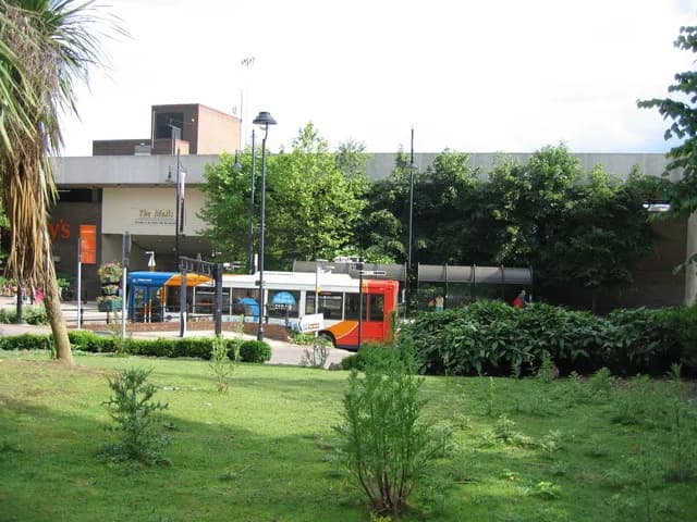
The town centre underwent equally dramatic changes. The area was cleared in 1967 to make way for a large concrete shopping centre. Phase one, known as The Walks, was completed in 1971. Phase two, The Malls, followed between 1978 and 1981, opening with five major stores and twenty-four smaller units. A planned third phase was abandoned; the site eventually became The Anvil concert hall, which remains a cultural cornerstone of the town today.
Transport infrastructure kept pace with residential growth. The M3 motorway, which acts as a buffer zone to the south of the town, improved connections to London. The existing railway station, served by the South West Main Line since 1839, saw increased commuter traffic. A ring road system was constructed to manage the growing volume of traffic.
The Legacy Today
The 1960s concrete shopping centre that once represented modernity became outdated by the century's end. A 1999 survey ranked The Malls as one of the worst retail centres in the country, placing 186th out of 200. The response was Festival Place, which opened in October 2002 with over 200 shops across 102,000 square metres, transforming shoppers' opinions of the town centre.
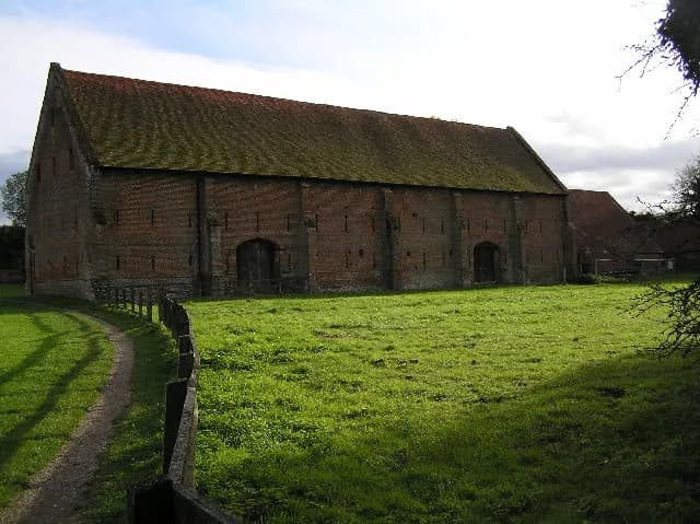
Yet traces of the market town remain. Basingstoke still holds a regular Wednesday market, a tradition dating to 1214. The town is mentioned in the Domesday Book, and May's Brewery, established in 1750, represents the malting and brewing heritage that once defined the local economy. Iron Age hillforts, including Winklebury Camp, remind residents of far older histories beneath the concrete and housing estates.
A Town of Contrasts
The overspill transformation created a town of distinct character. The historic core, with its Georgian buildings and market square, sits surrounded by estates built in a concentrated burst of construction between the mid-1960s and early 1980s. Crown Heights, the high-rise flats visible from much of the centre, and Fanum House, the distinctive AA building, remain landmarks from this era.
For residents today, the legacy is mixed but undeniable. The estates provide affordable housing in a region where property prices have soared. The town's corporate employers offer employment without the London commute. Yet the rapid, planned nature of the expansion meant that Basingstoke acquired a reputation for being soulless, a criticism that the town centre redevelopment and cultural investments like The Anvil have sought to address.
The London overspill policy succeeded in its immediate aim: it housed thousands of families who could not find accommodation in the capital. In Basingstoke, it turned a quiet market town of 13,000 into a thriving Hampshire centre approaching 110,000 people. Whether that constitutes a metropolis remains a matter of perspective, but the transformation is beyond dispute.